


HANTANGANG RIVER GEOPARK
입력 2019.06.11 (15:07)
수정 2019.06.11 (16:48)
읽어주기 기능은 크롬기반의
브라우저에서만 사용하실 수 있습니다.

[Anchor Lead]
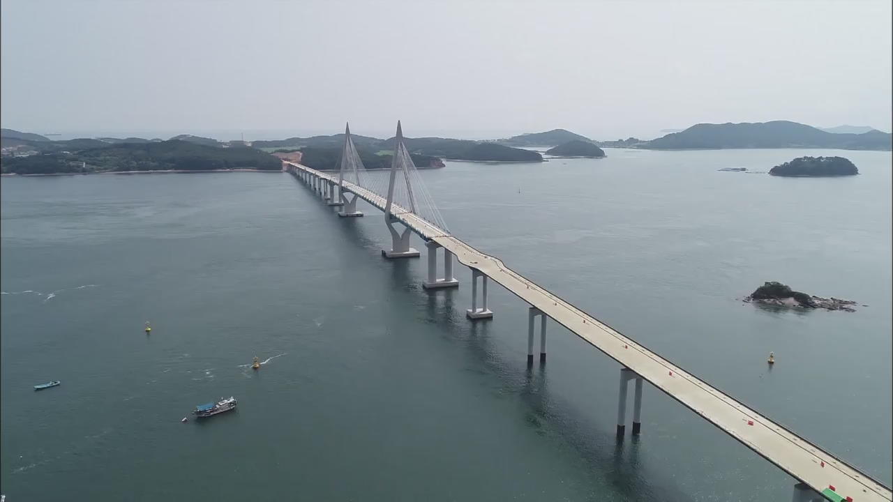
The Hantangang River Geopark obtained national geopark status in 2015 for its exceptional geological value. Next year, it could also receive the UNESCO global geopark certification. Ahead of a UNESCO inspection team visiting next month to survey the park, visitor numbers are growing sharply. We take you to Hantangang River for the details.
[Pkg]
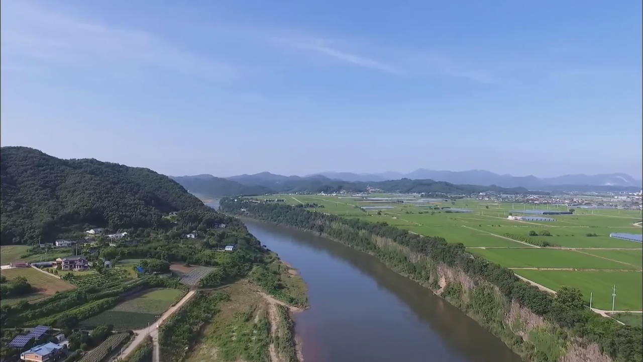
The Hantangang River originates in North Korea and passes through Cheorwon in Gangwondo Province and reaches all the way to Pocheon and Yeoncheon in Gyeonggido Province. The river boasts a scenic vista with stunning column-like rock formations found along its ravines. Its designation as a national geopark in 2015 served to boost visitor numbers.
[Soundbite] KIM DAE-WOO(YEONCHEON-GUN COUNTY OFFICIAL) : "The flow of new lava creates twists and turns, creating not vertical but various shapes of column-like cliffs."
Interest has further heightened in recent days as UNESCO inspectors will visit the river park next month to decide on granting global geopark status.
[Soundbite] GO GYEONG-JA(VISITOR) : "It's so wonderfully beautiful. This scenery should be shown to everyone."
Local residents are also lending support to win the UNESCO recognition come April next year. Locals have even set up a travel agency to attract more visitors to the area.
[Soundbite] OK YEONG-HEE(TRAVEL AGENCY HEAD) : "With hopes for people to visit and enjoy the scenic landscape, we offer tours connected to rural experience programs."
Publicity efforts such as holding art exhibitions of local artists have also helped to draw in visitors. So far this year, 300-thousand have visited the Hantangang River Geopark. Interest among travelers continues to rise as more ecological features are created in the park, including riverside hiking trails.
The Hantangang River Geopark obtained national geopark status in 2015 for its exceptional geological value. Next year, it could also receive the UNESCO global geopark certification. Ahead of a UNESCO inspection team visiting next month to survey the park, visitor numbers are growing sharply. We take you to Hantangang River for the details.
[Pkg]
The Hantangang River originates in North Korea and passes through Cheorwon in Gangwondo Province and reaches all the way to Pocheon and Yeoncheon in Gyeonggido Province. The river boasts a scenic vista with stunning column-like rock formations found along its ravines. Its designation as a national geopark in 2015 served to boost visitor numbers.
[Soundbite] KIM DAE-WOO(YEONCHEON-GUN COUNTY OFFICIAL) : "The flow of new lava creates twists and turns, creating not vertical but various shapes of column-like cliffs."
Interest has further heightened in recent days as UNESCO inspectors will visit the river park next month to decide on granting global geopark status.
[Soundbite] GO GYEONG-JA(VISITOR) : "It's so wonderfully beautiful. This scenery should be shown to everyone."
Local residents are also lending support to win the UNESCO recognition come April next year. Locals have even set up a travel agency to attract more visitors to the area.
[Soundbite] OK YEONG-HEE(TRAVEL AGENCY HEAD) : "With hopes for people to visit and enjoy the scenic landscape, we offer tours connected to rural experience programs."
Publicity efforts such as holding art exhibitions of local artists have also helped to draw in visitors. So far this year, 300-thousand have visited the Hantangang River Geopark. Interest among travelers continues to rise as more ecological features are created in the park, including riverside hiking trails.
■ 제보하기
▷ 카카오톡 : 'KBS제보' 검색, 채널 추가
▷ 전화 : 02-781-1234, 4444
▷ 이메일 : kbs1234@kbs.co.kr
▷ 유튜브, 네이버, 카카오에서도 KBS뉴스를 구독해주세요!
- HANTANGANG RIVER GEOPARK
-
- 입력 2019-06-11 14:59:09
- 수정2019-06-11 16:48:34
[Anchor Lead]
The Hantangang River Geopark obtained national geopark status in 2015 for its exceptional geological value. Next year, it could also receive the UNESCO global geopark certification. Ahead of a UNESCO inspection team visiting next month to survey the park, visitor numbers are growing sharply. We take you to Hantangang River for the details.
[Pkg]
The Hantangang River originates in North Korea and passes through Cheorwon in Gangwondo Province and reaches all the way to Pocheon and Yeoncheon in Gyeonggido Province. The river boasts a scenic vista with stunning column-like rock formations found along its ravines. Its designation as a national geopark in 2015 served to boost visitor numbers.
[Soundbite] KIM DAE-WOO(YEONCHEON-GUN COUNTY OFFICIAL) : "The flow of new lava creates twists and turns, creating not vertical but various shapes of column-like cliffs."
Interest has further heightened in recent days as UNESCO inspectors will visit the river park next month to decide on granting global geopark status.
[Soundbite] GO GYEONG-JA(VISITOR) : "It's so wonderfully beautiful. This scenery should be shown to everyone."
Local residents are also lending support to win the UNESCO recognition come April next year. Locals have even set up a travel agency to attract more visitors to the area.
[Soundbite] OK YEONG-HEE(TRAVEL AGENCY HEAD) : "With hopes for people to visit and enjoy the scenic landscape, we offer tours connected to rural experience programs."
Publicity efforts such as holding art exhibitions of local artists have also helped to draw in visitors. So far this year, 300-thousand have visited the Hantangang River Geopark. Interest among travelers continues to rise as more ecological features are created in the park, including riverside hiking trails.
이 기사가 좋으셨다면
-
좋아요
0
-
응원해요
0
-
후속 원해요
0
오늘의 핫 클릭
실시간 뜨거운 관심을 받고 있는 뉴스
헤드라인
![[속보] 이태원참사특별법, 국회 본회의 통과](/data/layer/904/2024/05/20240502_Jz6lun.jpg)


많이 본 뉴스
-
각 플랫폼에서 최근 1시간 동안 많이 본 KBS 기사를 제공합니다.
-
각 플랫폼에서 최근 1시간 동안 많이 본 KBS 기사를 제공합니다.
-
각 플랫폼에서 최근 1시간 동안 많이 본 KBS 기사를 제공합니다.
이 기사에 대한 의견을 남겨주세요.